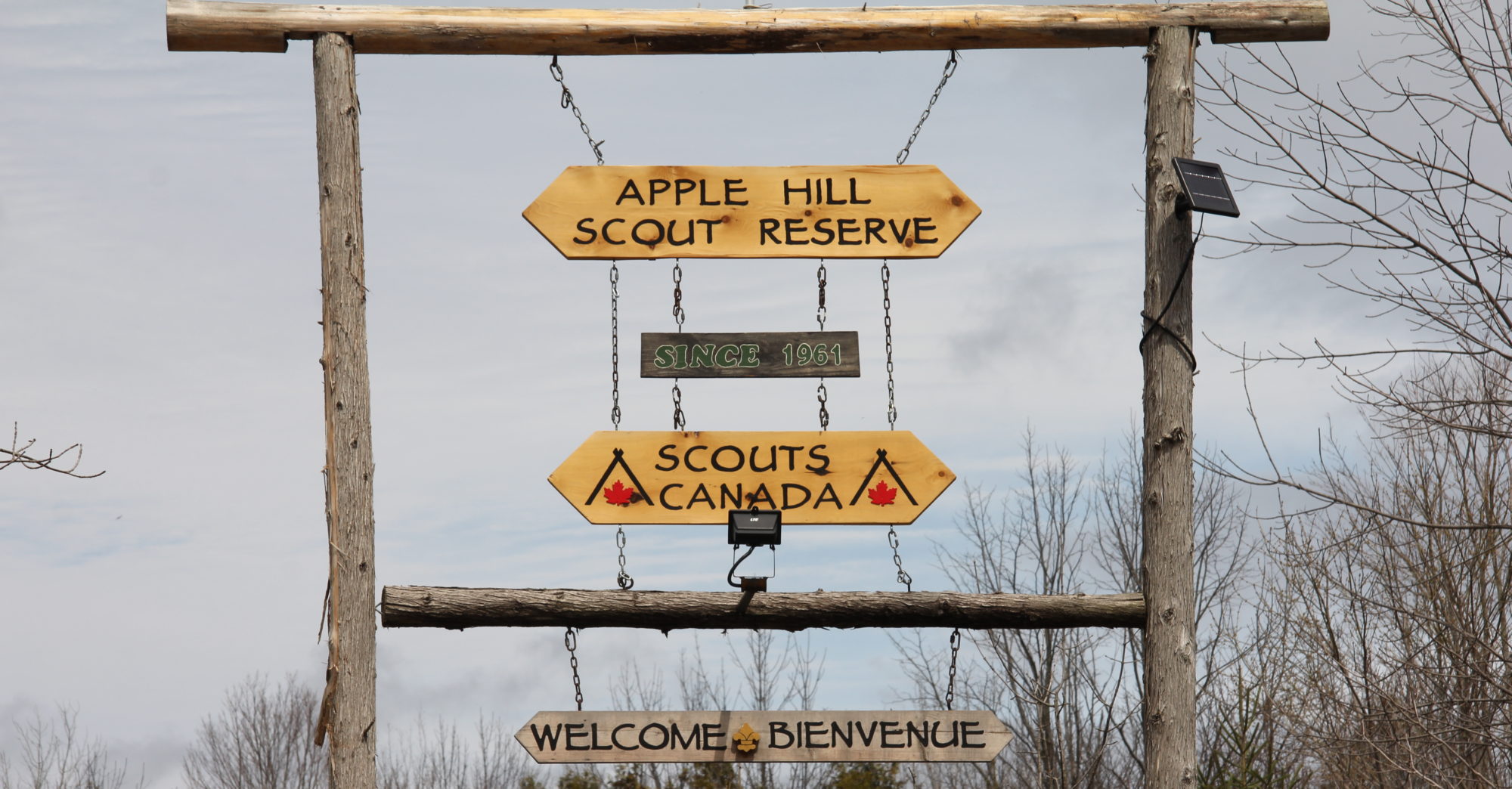
Apple Hill Scout Reserve is located within an hours drive of Ottawa, Montreal and Cornwall. Most activities are located in the southern end of the camp; however, we do have NE and NW entrances to the North Fields as well.
We have found most GPS units will get you directly to the camp by entering the address below.
Address:
-
- 18739 Kenyon Concession Road 2, Apple Hill, ON K0C 1B0
- 45°13’48.0″N 74°45’02.2″W
Google Maps links:
- AHSR South Entrance, 18739 Kenyon Concession Road 2
- AHSR NE Entrance, Kenyon Concession Road 3 @ Boy Scout Road
- AHSR NW Entrance, Kenyon Concession Road 3
Directions from Ottawa:
- Hwy 417 East to Exit #51, County Rd.20 South (Highland Road), towards Maxville
- 14.8km – left onto County Rd.43 at AJK Corner Gas (towards Alexandria)
- 1.8km – right onto Apple Hill Rd. (aka Old Orchard St.).
- 2km – left onto Hughie Munro, at fire station
- 2km – camp gate will be on left, at top of hill, just after it changes to gravel
Directions from Montreal (south):
- Hwy 401 West to Exit #804 onto County Rd. 27 North (Summerstown Rd. N) towards Martintown
- 9.6km – left onto County Rd. 18 towards Martintown
- 4.4km – right onto County Rd. 20 North towards Apple Hill
- 8.9km – right onto Hughie Munro, at fire station
- 2km – camp gate will be on left, at top of hill, just after it changes to gravel
Directions from Montreal (north):
- Hwy 417 West to Exit #51, County Rd.20 South (Highland Road), towards Maxville
- 14.8km – left onto County Rd.43 at AJK Corner Gas (towards Alexandria)
- 1.8km – right onto Apple Hill Rd. (aka Old Orchard St.).
- 2km – left onto Hughie Munro, at fire station
- 2km – camp gate will be on left, at top of hill, just after it changes to gravel
Directions from Cornwall:
- Hwy 138 North out of Cornwall
- ~4.5km – right onto County Rd. 18 towards Martintown
- 9.7km – left onto County Rd. 20 North towards Apple Hill
- 8.9km – right onto Hughie Munro, at fire station
- 2km – camp gate will be on left, at top of hill, just after it changes to gravel