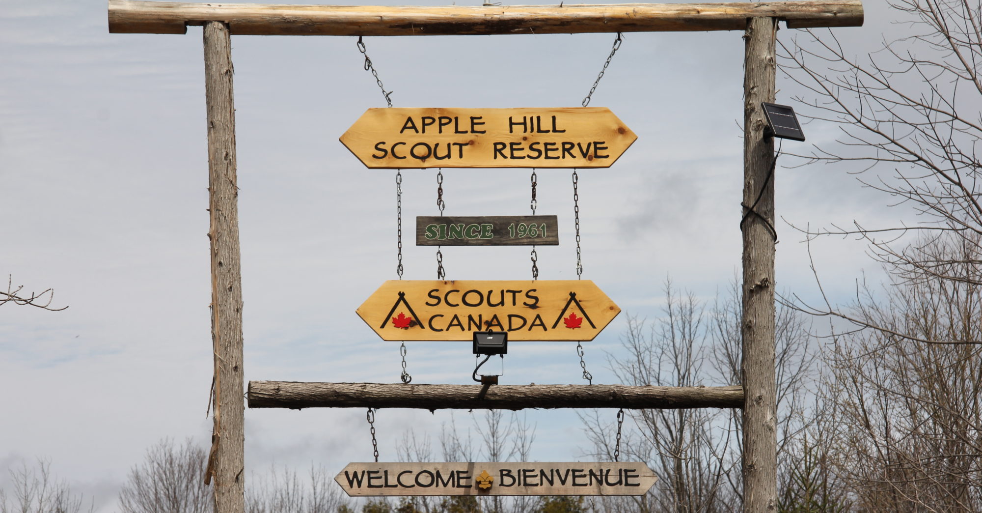
Apple Hill Scout Reserve is private property, so we cannot provide official geocaches on geocaching.com; however, we do have a variety of waypoints. These waypoints will help campers find different points of interest throughout the 325 acres.
These coordinates will take you along the main South – North trail. Along the way, you’ll see the Pelletry and Archery Ranges.
For the return trip, you could use the Red or Yellow Trail for the west side of the camp through the orchard and cedar forest. Alternatively, the Pink starts close to the Adirondack shelter and joins the Blue trail for a boreal forest experience. Overall loop distance will be at least 3km.
| N 45 14.087 | W 74 45.091 | Chapel |
| N 45 14.521 | W 74 45.379 | Adirondack Shelter |
| N 45 14.505 | W 74 45.459 | Old Car |
If you decide to return along the Pink to Blue Trail, then keep an eye out for a 4th waypoint
| N 45 14.417 | W 74 45.053 | base of a tree |
Other waypoints of interest:
| Wade Lodge | 45.2322° N | 74.7523° W |
| South Entrance | 45°13’48.0″N | 74°45’02.2″W |